Sobre Reyconsult

En Reyconsult, ofrecemos servicios de topografía e ingeniería civil, combinando tecnología avanzada y experiencia para proyectos de alta calidad y precisión.

A person wearing a yellow vest stands near a fence on uneven, grassy terrain. They appear to be using a surveying instrument mounted on a red and white pole. The image is captured from a high angle, showing the surrounding dry grass and dirt patches.

Nuestra Misión

Nos dedicamos a crear soluciones innovadoras y eficientes en topografía, garantizando un servicio profesional y adaptado a las necesidades de nuestros clientes.
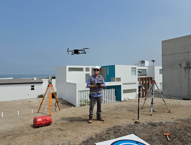
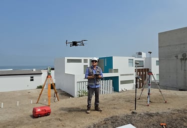
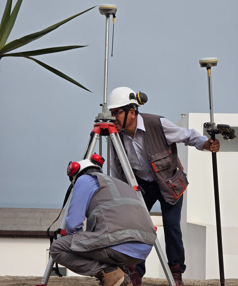
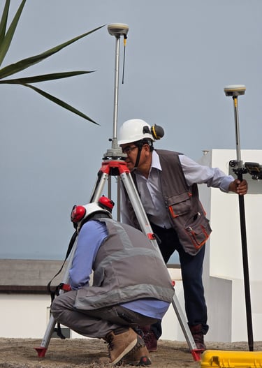
An aerial view of a mountainous landscape, displaying a natural array of jagged peaks and valleys. The terrain is rugged with a combination of steep slopes and ridges interspersed with flatter areas, possibly representing terraces or fields. Shadows and light create a high contrast effect, highlighting the topographical texture.

Galería

Explora nuestros proyectos de topografía e ingeniería civil destacados.

A close-up black and white photograph of a detailed topographic map. The map features contour lines, place names, and various markings indicating geographical features. It appears to be held in a hand, positioned at an angle that highlights its texture and intricate details.
Hands are holding a topographic map and a compass. One hand is pointing at a specific location on the map, indicating navigation or orientation. The map is detailed with green shades, representing terrain or elevation.
A construction scene featuring a bright orange survey tripod in the foreground, with a blurred yellow bulldozer moving dirt in the background. The scene has green trees and shrubs on the left side and some buildings partially visible on the right side under a clear blue sky.
A close-up view of an old, detailed map with intricate topographical features. The map has various shades of green and brown, indicating different elevations and terrain types. Small markings and labels are scattered throughout, suggesting towns or landmarks.
An aerial view of a vast landscape featuring a patchwork of fields, with variations in terrain, showing valleys and rivers. The land appears to be a mix of agricultural and natural areas, with roads and small buildings scattered throughout. The topography includes some elevated regions and woodland areas.

Nuestra Ubicación

Estamos ubicados en un lugar estratégico para ofrecer nuestros servicios topográficos e ingenieriles con facilidad y rapidez.

Dirección

Jr. Economistas 4472 - SJL

Horario

Lunes a Viernes